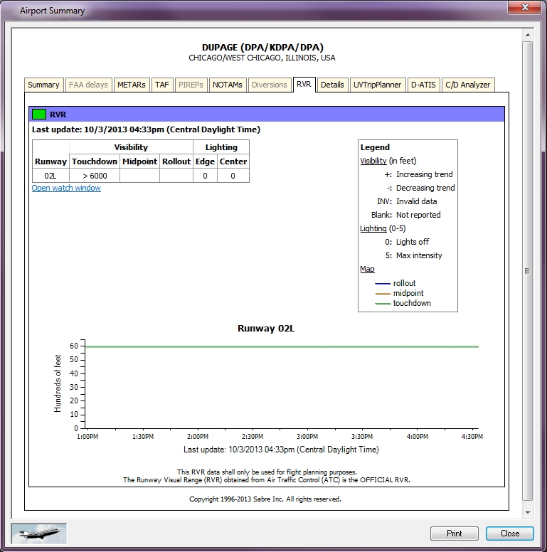
RVR Tab
RVR* shows runway information from all airports using a 12/24 hour time setting. Airport Summary shows tabular and graphical details on each runway as well as the runway number, visibility (touchdown, midpoint, roll-out), and lighting (edge and center). Each runway is shown in detail below the summary information and shows a time-line with visibility listed in hundreds of feet. See RVR (Runway Visual Range) for more information.
To See RVR
Right-click any airport and select Airport Summary from the Context menu.

To monitor a particular airport, click the Open Watch Window link below the summary. The "Watch" window can be kept open while the user performs other tasks.
Airports are color coded to show runway visibility range.
|
Color |
Description |
|---|---|
|
Green |
All runways >= 6000 ft |
|
Blue |
1+ runways >= 2400 and < 6000 ft |
|
Yellow |
1+ runways >= 1200 and < 2400 ft |
|
Orange |
1+ runways >= 600 and < 1200 ft |
|
Red |
1+ runways >= 300 and < 600 ft |
|
Pink |
1+ runways <= 300 ft |
* "This RVR data shall only be used for flight planning purposes. The Runway Visual Range (RVR) obtained from Air Traffic Control (ATC) is the OFFICIAL RVR." FAA.
Note An RVR alert can be set in Event Manager to notify when values drop below certain parameters at specific airports.